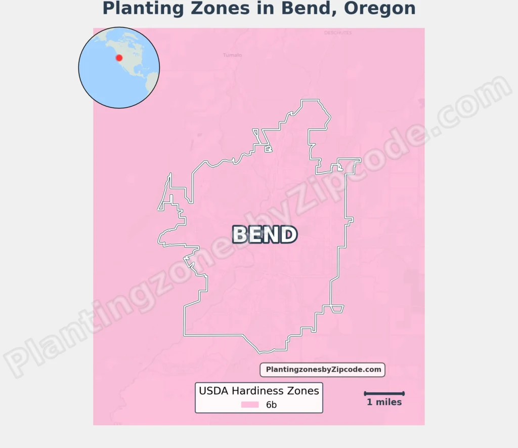
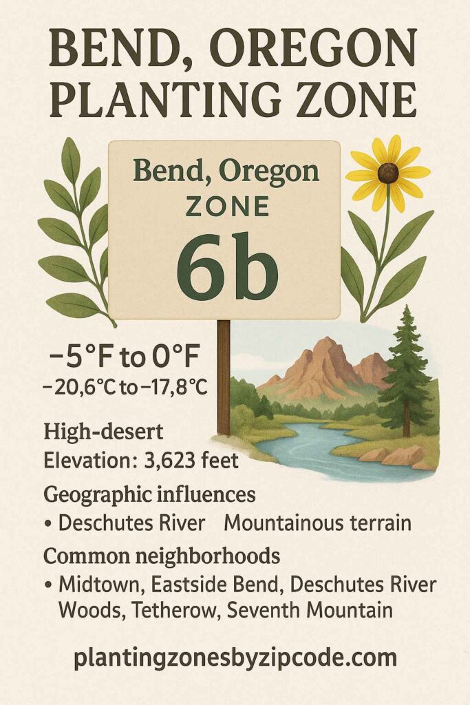
Bend, Oregon lies in USDA Hardiness Zone 6b, experiencing annual minimum temperatures of -5°F to 0°F (-20.6°C to -17.8°C). Most neighborhoods—including Midtown, Eastside Bend (97701), and southeast/southwest Bend (97702) covering Deschutes River Woods, Tetherow, and Seventh Mountain share this zone.
Exceptions occur southwest of Bend in Sunriver and Three Rivers (97707), classified as USDA Zone 6a with minimums of -10°F to -5°F (-23.3°C to -20.6°C).
Bend’s high-desert climate and 3,623-foot elevation drive these zones, with variations from geographic features like the Deschutes River and higher terrain near Tetherow and Sunriver.
You can pinpoint your Bend, Oregon, USDA zone using our three tools given below, Zipcode to planting zone tool, interactive map or by using planting zone table.
Bend Planting Zones by ZipCode
Enter 5 digit Bend, Oregon, Zipcode in Box below to find its USDA Planting Zone.
Bend Planting Zones Map
Please Select or type your Bend location in the selection box below to find its USDA Growing zone information.
City Name
Bend Area Planting Zone
Planting Zones
Planting Zones
Bend Planting Zones Table
Following table lists all the Bend locations alongwith their USDA Hardiness zone.
| Bend Location | Planting Zone |
|---|---|
| Loading Bend zones data… | |
No items found matching your search
Try a different search term or clear the search field.
Download Bend Planting Zone Map