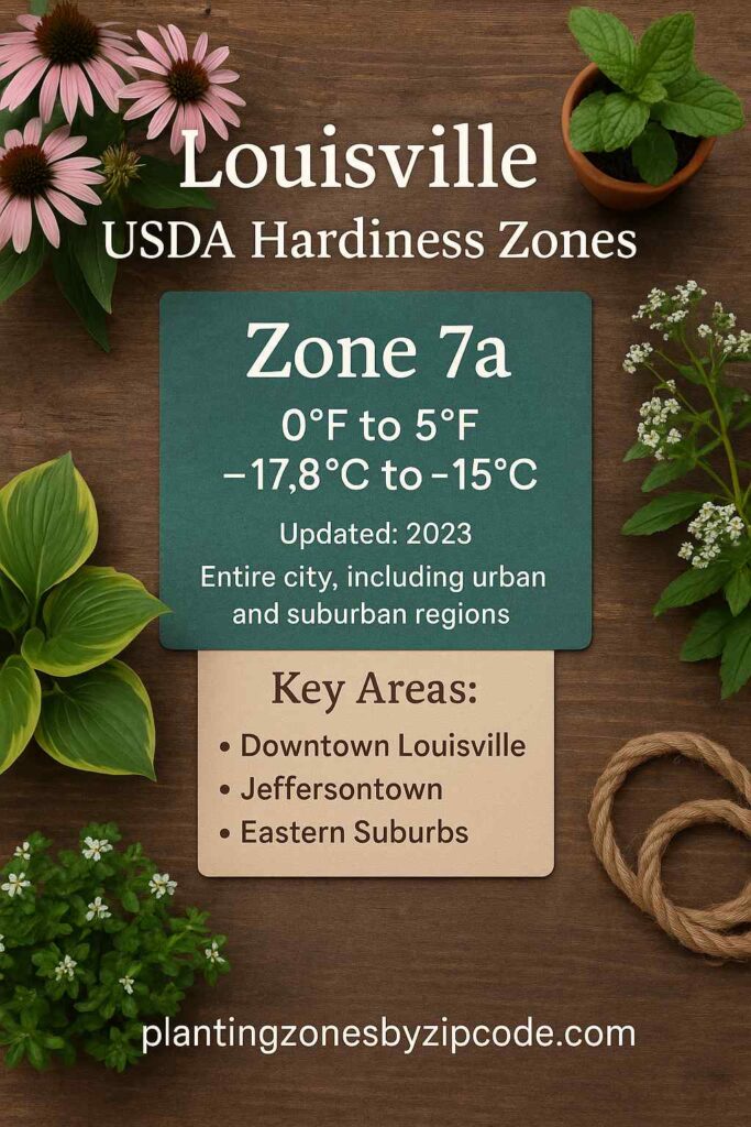
Louisville, Kentucky falls entirely within USDA Hardiness Zone 7a, experiencing average annual minimum temperatures of 0°F to 5°F (-17.8°C to -15°C), as per the 2023 USDA update. This classification encompasses all local zip codes, including urban areas like Downtown Louisville (40202) and suburban regions such as Jeffersontown and Eastern Suburbs (40299).
You can pinpoint your Louisville, Kentucky, USDA zone using our three tools given below, Zipcode to planting zone tool, interactive map or by using planting zone table.
Louisville Planting Zones by ZipCode
Enter 5 digit Louisville zipcode in box below to find its USDA Growing Zone.
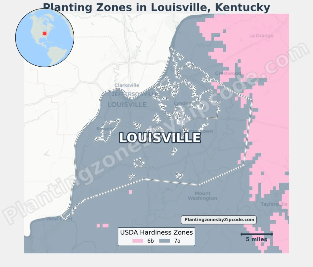
Louisville Planting Zones Map
Please Select or type your Louisville location in the selection box below to find its USDA planting zone information.
City Name
Louisville Area Planting Zone
Planting Zones
Planting Zones
Louisville Planting Zones Table
Below table lists all Louisville locations alongwith their USDA Hardiness Zones.
| Louisville Location | Planting Zone |
|---|---|
| Loading Louisville zones data… | |
No items found matching your search
Try a different search term or clear the search field.
Download Louisville Planting Zone Map