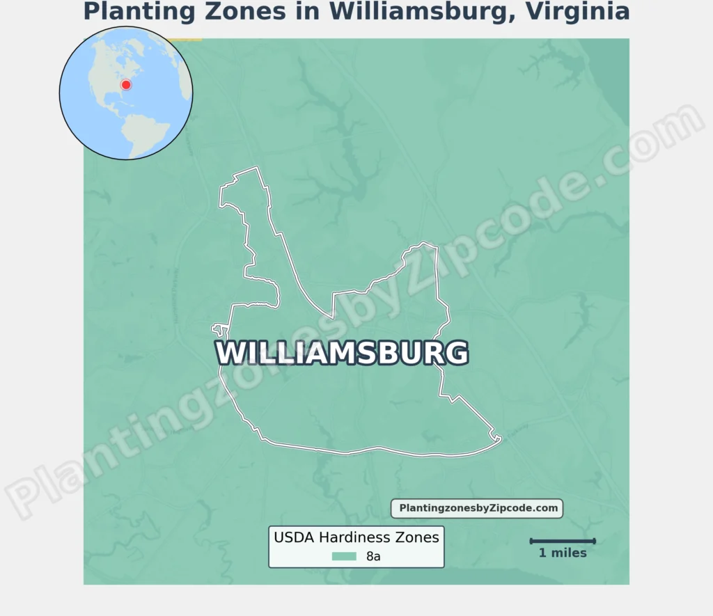
Williamsburg, Virginia falls entirely within USDA Hardiness Zone 8a, with average annual minimum temperatures of 10°F to 15°F (-12.2°C to -9.4°C).
This zone covers all Williamsburg neighborhoods like Ford’s Colony, Kingsmill, New Town, and Colonial Williamsburg.
Surrounding areas beyond city boundaries, such as Colonial Heritage, Liberty Crossing, and Stonehouse, fall within Zone 7b, experiencing minimum temperatures of 5°F to 10°F (-15°C to -12.2°C).
To locate your Williamsburg, Virginia, USDA zone use our three tools given below, zipcode to planting zone search tool, interactive map, or planting zone table.
Williamsburg Planting Zones by ZipCode
Williamsburg Planting Zones Map
Select or type your Williamsburg location in the search box below to find its planting zone.
City Name
Williamsburg Area Planting Zone
Planting Zones
Planting Zones
Williamsburg Planting Zones Table
| Williamsburg Location | Planting Zone |
|---|---|
| Loading Williamsburg zones data… | |
No items found matching your search
Try a different search term or clear the search field.
Download Williamsburg USDA Growing Zones Map