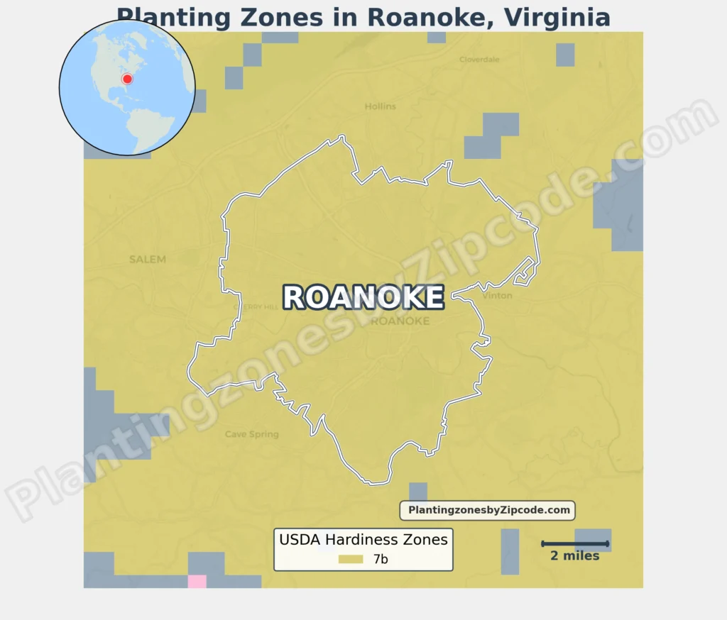
Roanoke, Virginia lies entirely within USDA Hardiness Zone 7b, having average annual minimum temperatures of 5°F to 10°F (-15°C to -12.2°C).
This zone covers all areas in Roanoke including downtown Roanoke, Grandin Village, Old Southwest, and Cave Spring. Zone 7b classification uniformly applies to neighborhoods like Airport, Belmont, Hollins, and Vinton, as well as nearby areas such as Salem and Cloverdale, per the latest USDA update released in 2023.
To locate your Roanoke, Virginia, USDA zone use our three tools given below, zipcode to planting zone search tool, interactive map, or planting zone table.
Roanoke Planting Zones by ZipCode
Roanoke Planting Zones Map
Select or type your Roanoke location in the search box below to find its planting zone.
City Name
Roanoke Area Planting Zone
Planting Zones
Planting Zones
Roanoke Planting Zones Table
| Roanoke Location | Planting Zone |
|---|---|
| Loading Roanoke zones data… | |
No items found matching your search
Try a different search term or clear the search field.
Download Roanoke USDA Growing Zones Map