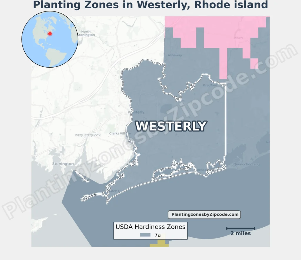
Westerly, Rhode Island lies entirely in USDA Hardiness Zone 7a (0°F to 5°F/-17.8°C to -15°C), per the latest USDA data.
This classification spans all areas of the coastal town, from shoreline communities like Watch Hill, Misquamicut, and Weekapaug to inland neighborhoods. Notable locations include the historic Westerly Downtown district, Wilcox Park area, Napatree Point Conservation Area, and beach destinations like Quonochontaug and Shelter Harbor.
The consistent 7a designation applies to both the urban center near the Pawcatuck River and waterfront zones along Rhode Island’s southern coastline.
To verify your Westerly, Rhode Island, USDA zone use our three tools given below: zipcode to planting zone search tool, interactive map, or planting zone table.
Westerly Planting Zones by ZipCode
Westerly Planting Zones Map
Select or type your Westerly location in the selection box below to find its planting zone.
Planting Zones
Planting Zones
Westerly Planting Zones Table
| Westerly Location | Planting Zone |
|---|---|
| Loading zones data… | |
Download Westerly Planting Zone Map