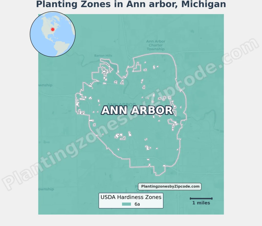
Ann Arbor, Michigan falls entirely within USDA Hardiness Zone 6a, featuring average annual minimum temperatures of -10°F to -5°F (-23.3°C to -20.6°C), according to the 2023 USDA update.
This zone covers all neighborhoods citywide, from downtown districts like Kerrytown and the Old Fourth Ward to residential areas such as Burns Park, North Campus, and the Old West Side. Suburban developments including Barton Hills, Scio Village, and multiple planned communities like Stonebridge and North Oaks of Ann Arbor share this growing zone.
To locate your Ann Arbor, Michigan, USDA zone use our three tools given below, zipcode to planting zone search tool, interactive map, or planting zone table.
Ann Arbor Planting Zones by ZipCode
Ann Arbor Planting Zones Map
Select or type your Ann Arbor location in the search box below to get its planting zone.
City Name
Ann Arbor Area Planting Zone
Planting Zones
Planting Zones
Ann Arbor Planting Zones Table
| Ann Arbor Location | Planting Zone |
|---|---|
| Loading Ann Arbor zones data… | |
No items found matching your search
Try a different search term or clear the search field.
Download Ann Arbor Planting Zones Map