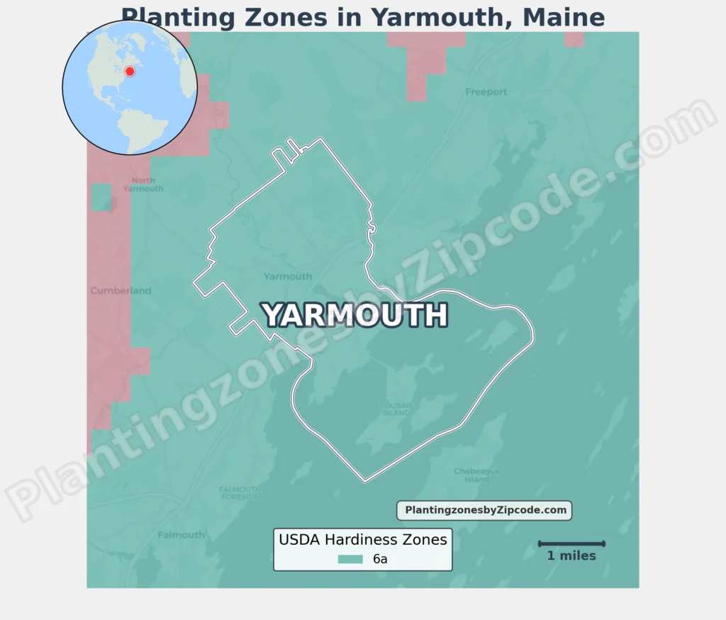
Yarmouth, Maine falls within USDA Hardiness Zone 6a, experiencing average annual minimum temperatures of -10°F to -5°F (-23.3°C to -20.6°C) per USDA data. This zone includes Yarmouth proper and its surrounding areas Chebeague Island, Falmouth, Freeport, Long Island, and North Yarmouth.
Neighboring communities like Cumberland, Gray, and Pownal experience slightly colder conditions, classified as Zone 5b. The Yarmouth coastal region’s zoning reflects maritime climate influences.
You can locate your Yarmouth, Maine, USDA zone using our three tools given below, Zipcode to planting zone search tool, interactive map or by planting zone table.
Yarmouth Planting Zones by ZipCode
Yarmouth Planting Zones Map
Select or type your Yarmouth location in the selection box below to find its planting zone.
Planting Zones
Planting Zones
Yarmouth Planting Zones Table
| Yarmouth Location | Planting Zone |
|---|---|
| Loading zones data… | |
Download Yarmouth Planting Zone Map