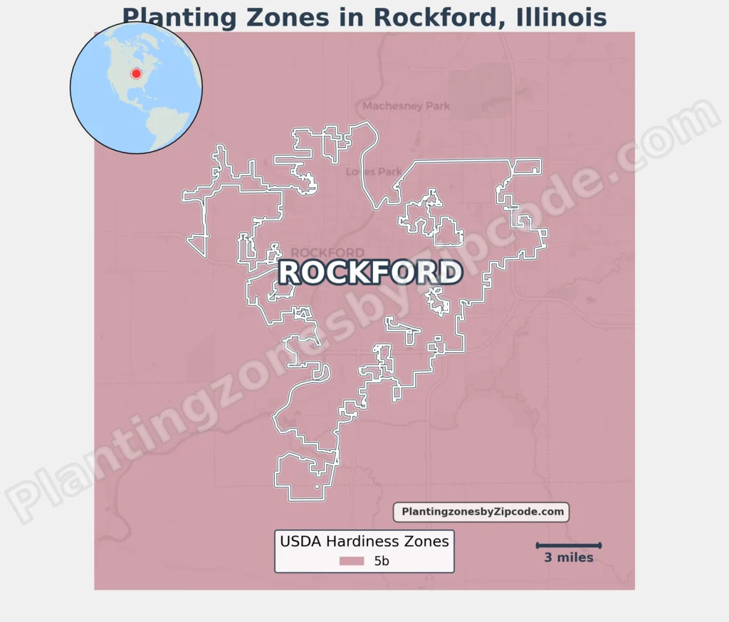
Rockford, Illinois is classified as USDA Hardiness Zone 5b, featuring average annual minimum temperatures of -15°F to -10°F (-26.1°C to -23.3°C).
This zone uniformly applies to all neighborhoods like Downtown Rockford, Highland, and suburban areas such as Rolling Green. Surrounding communities like Loves Park, Machesney Park, and Cherry Valley fall within the same zone.
Urban districts like the River District and residential developments like Churchill Grove share identical planting conditions due to Rockford’s consistent climate profile.
To locate your Rockford, Illinois, USDA zone use our three tools given below, zipcode to planting zone search tool, interactive map, or planting zone table.
Rockford Planting Zones by ZipCode
Rockford Planting Zones Map
Select or type your Rockford location in the search box below to find its planting zone.
City Name
Rockford Area Planting Zone
Planting Zones
Planting Zones
Rockford Planting Zones Table
| Rockford Location | Planting Zone |
|---|---|
| Loading Rockford zones data… | |
No items found matching your search
Try a different search term or clear the search field.
Download Rockford Planting Zones Map