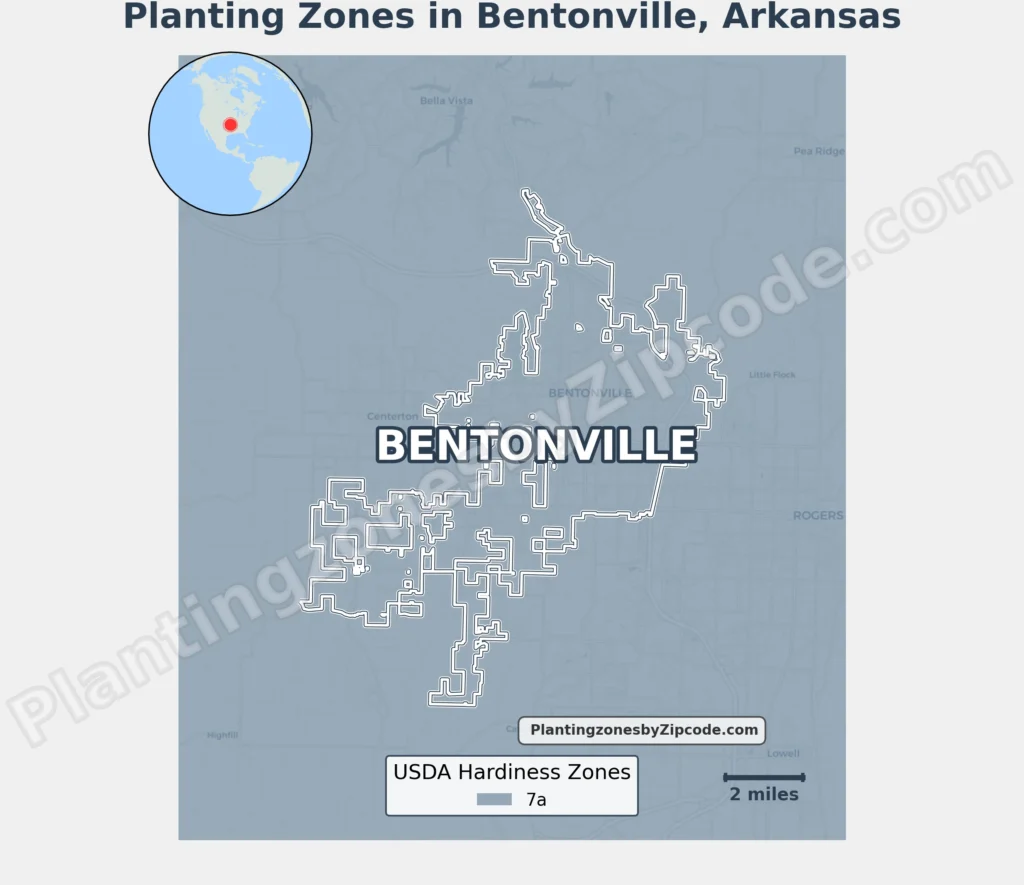
Bentonville, Arkansas is entirely in USDA Hardiness Zone 7a, with average annual minimum temperatures of 0°F to 5°F (-17.8°C to -15°C).
This zone includes all neighborhoods, from Downtown Bentonville to outlying areas like Shadow Valley and Wildwood. Newer developments such as Eagle Crest Estates and Scissor Tail, historic districts including the Bentonville West Central Avenue Historic District, and commercial zones like the Central Commercial District all share Zone 7a.
Neighboring communities like Bella Vista and Bethel Heights also fall within Zone 7a, ensuring consistent planting conditions across the region.
To locate your Bentonville, Arkansas, USDA zone use our three tools given below, zipcode to planting zone search tool, interactive map, or planting zone table.
Bentonville Planting Zones by ZipCode
Bentonville Planting Zones Map
Select or type your Bentonville location in the search box below to find its planting zone.
City Name
Bentonville Area Planting Zone
Planting Zones
Planting Zones
Bentonville Planting Zones Table
| Bentonville Location | Planting Zone |
|---|---|
| Loading Bentonville zones data… | |
No items found matching your search
Try a different search term or clear the search field.
Download Bentonville Planting Zones Map